Queryable Earth
<- Return to all blogs
-
Building and Validating LLM-Generated Captions and Embeddings for Geospatial Imagery in Queryable Earth
At Element 84, we’ve been exploring how LLMs can improve geospatial imagery search. We recently published a blog post detailing our latest updates to our Queryable Earth demo which lets users search for visible features on the Earth using natural language. Until recently, it relied entirely on SkyCLIP, an open-source vision-language model, to generate the…
-
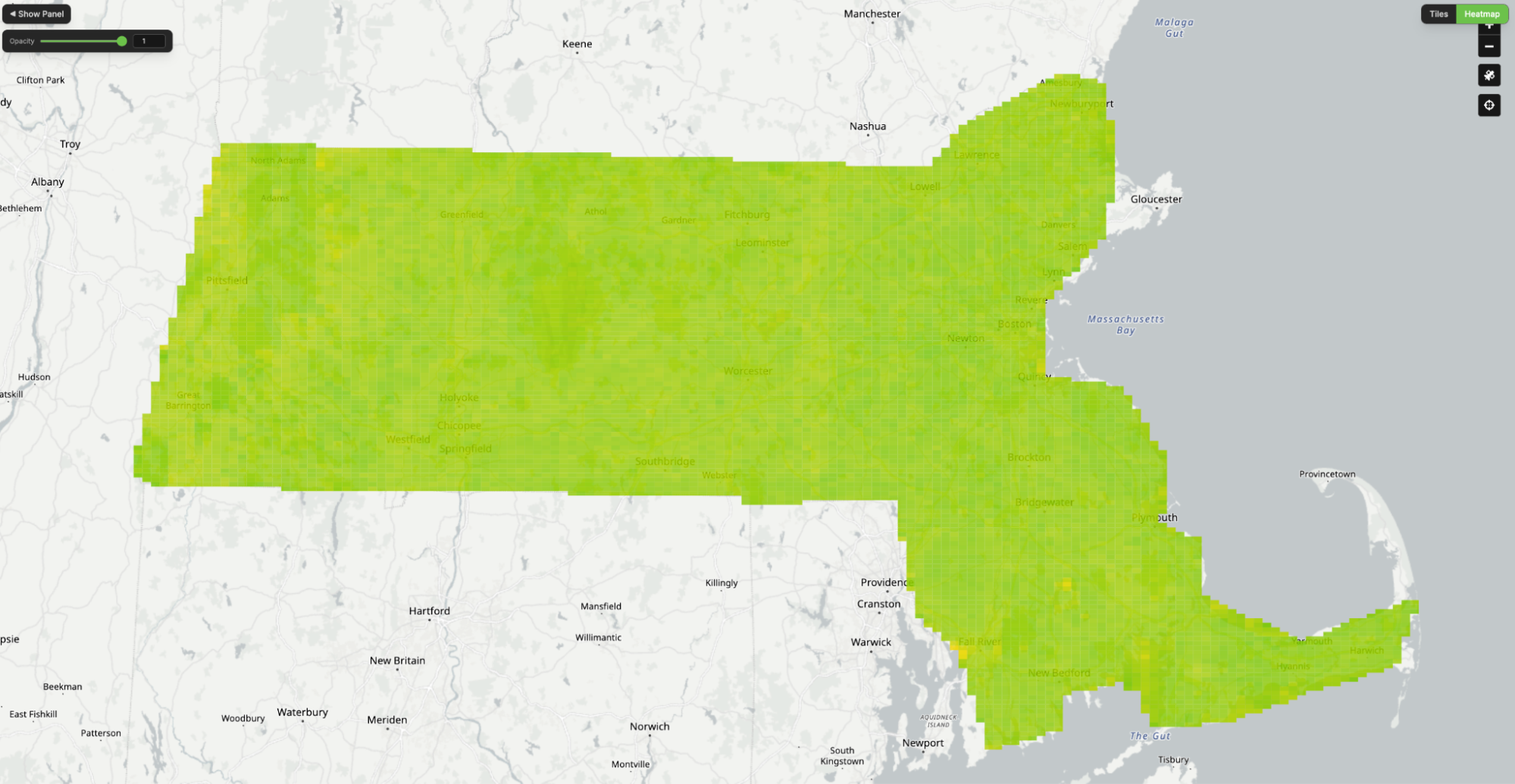
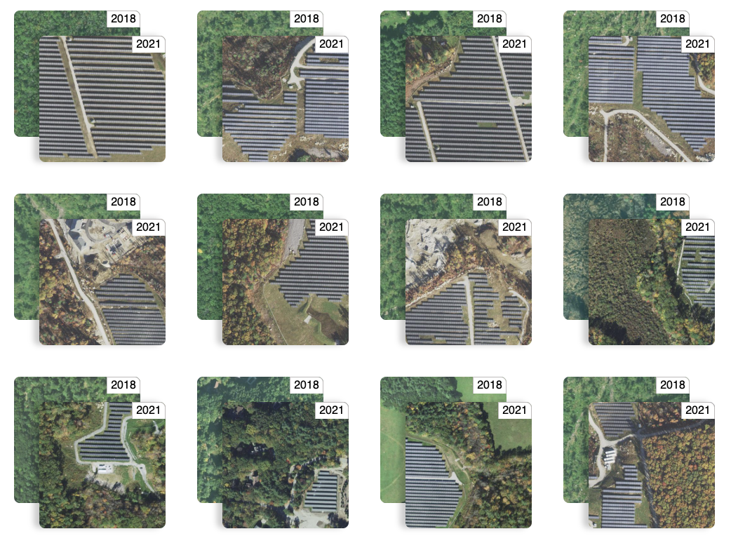
Queryable Earth Demo Update: Now with Change Detection!В
We detail how we used our research surrounding queryable Earth and natural language geocoding to demonstrate data accessibility in an intuitive and interactive way – and how you might be able to harness some of the same ideas in your own work.В
-
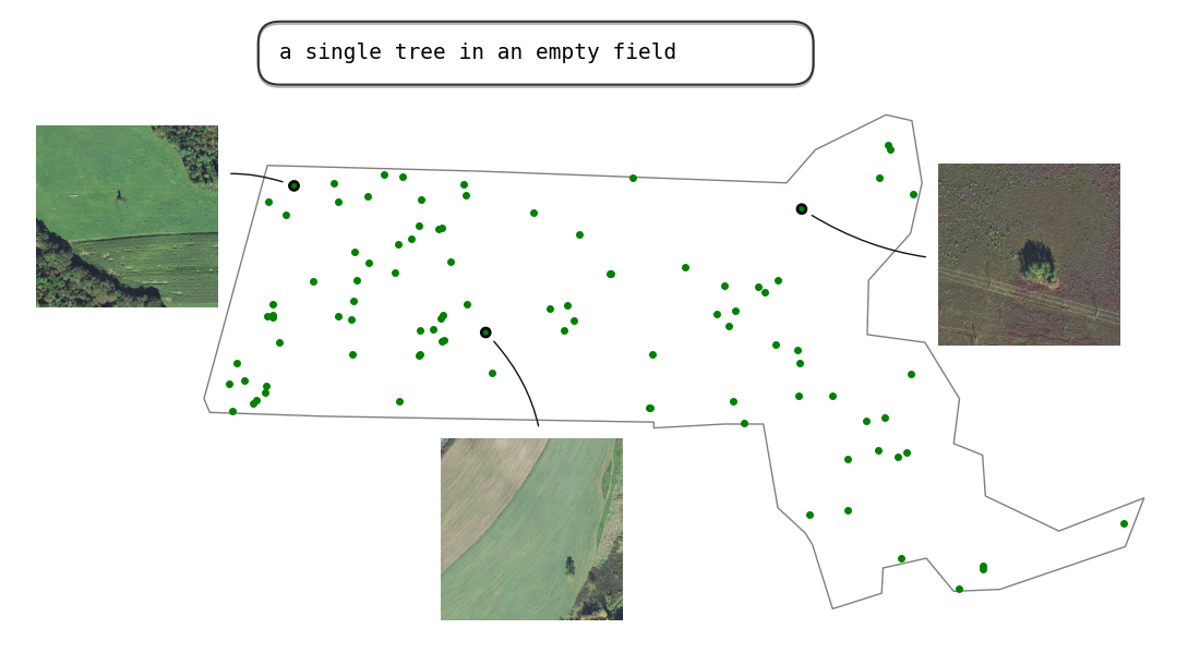
Building a queryable Earth with vision-language foundation models
We take a close look at two such remarkable VLMs that have come out in the past few months and, using these models, we build a prototype “queryable Earth” functionality that allows retrieving images along with their geolocations using text queries over a large geographical area.