Geospatial
<- Return to all blogs
-
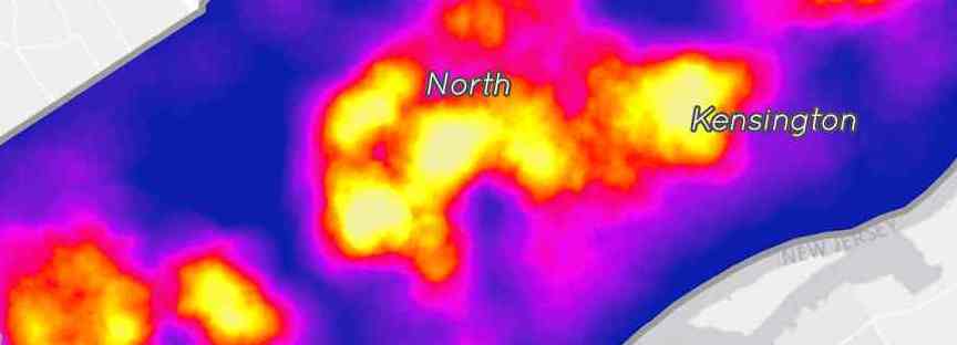
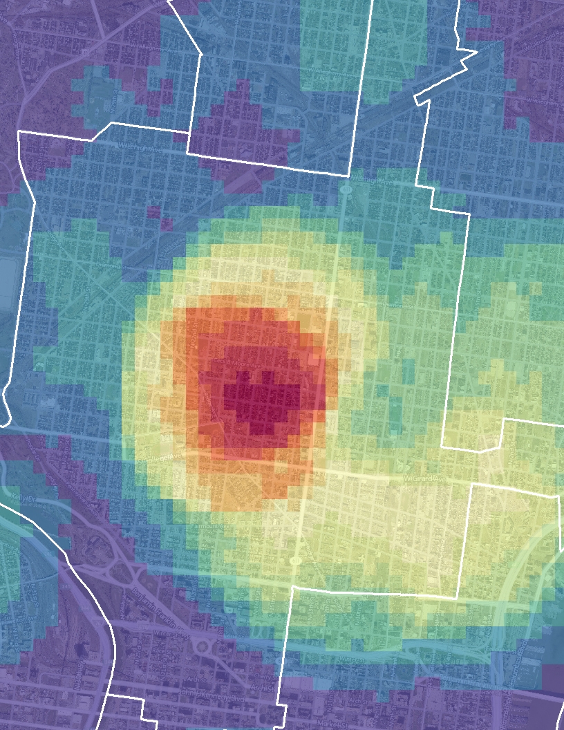
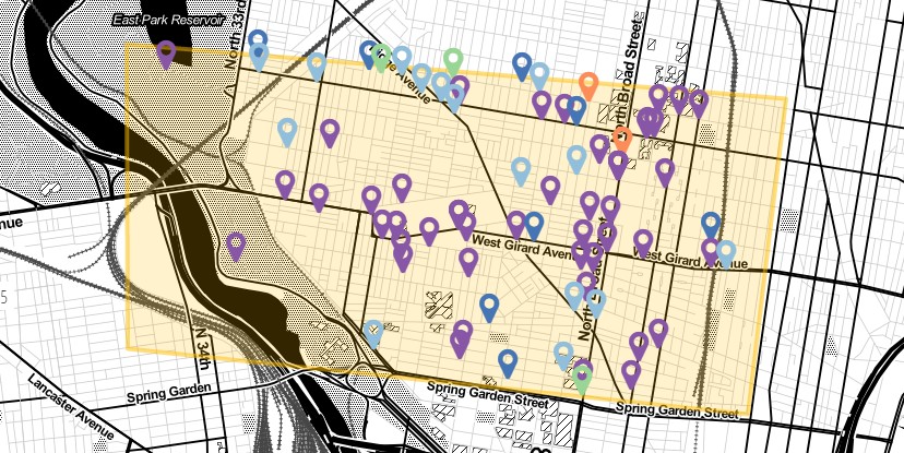
Mapping Substandard Housing with Philadelphia’s License and Inspection Data
In this blog post we discuss our work with The Legal Clinic for the Disabled (LCD) and our efforts to help them compare their client intake records with publicly-available geographic data in order to explore the relationship between poverty, disability, and unsafe or substandard housing conditions.
-
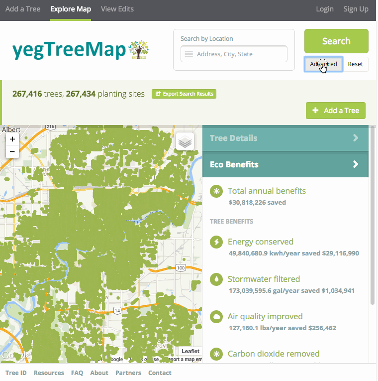
GIS, Mapping and Cartography Tools to Get You Started on Your Next Project
In this post we outline a list of tools and resources for various applications that will kickstart your project with the latest GIS, Mapping, and Cartography Tools.
-
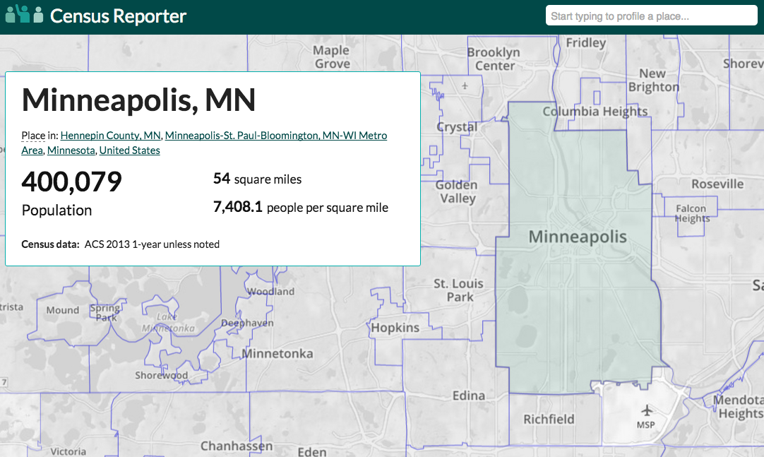
How to Get Census Data for Maps in 5 Steps
In this blog, we summarize a strategy you can use to gather census data for maps.
-
Preparing for a Spatial Career: Tips for Students
We tackle the question: how can students prepare themselves for a spatial career – a career in spatial analysis?
-
Loading Spatial Data into PostGIS with QGIS
In this blog, we summarize how to approach loading spatial data into PostGIS with QGIS.
-
Balloon Mapping: A Citizen Science Exercise
In this post we explore the idea of balloon mapping as a citizen science practice.

-
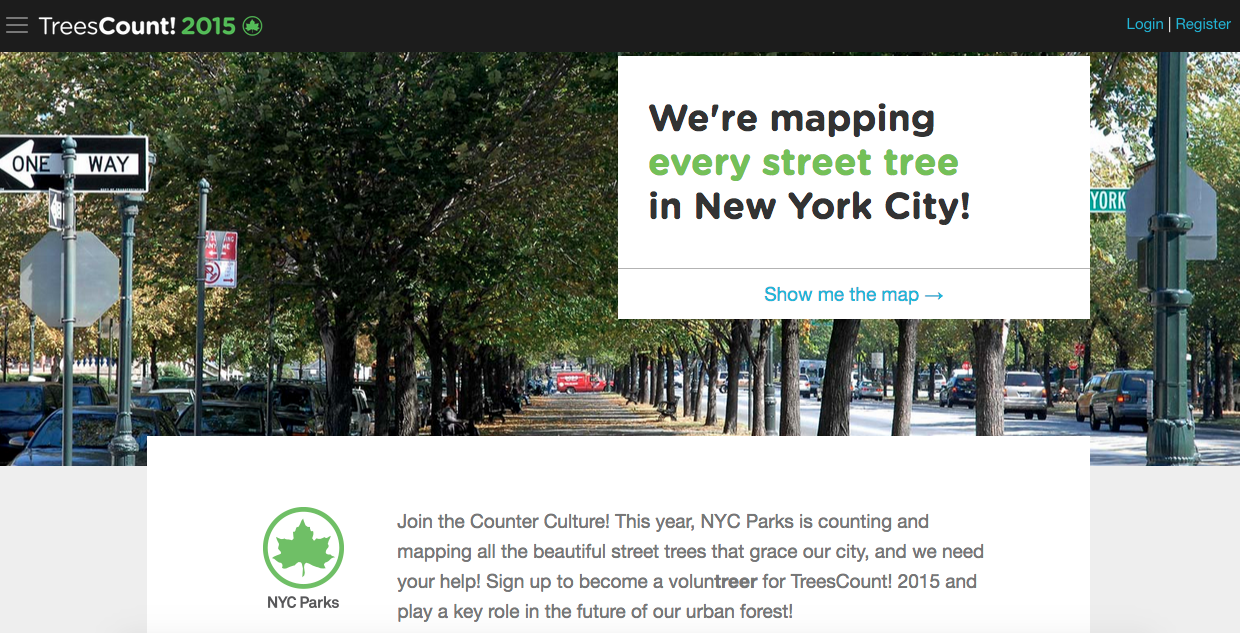
Building TreesCount! 2015
In this post, we detail our work generating the web application that facilitated TreesCount!
-
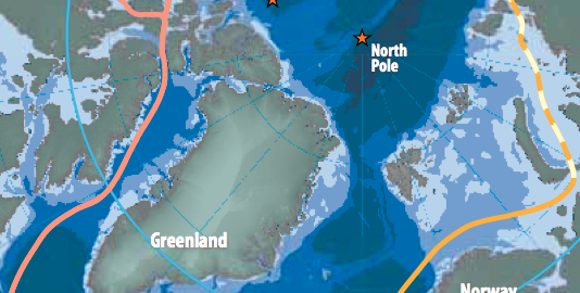
The Changing Map of the Arctic
In this post, we discuss how geographers and cartographers approach generating a map of the arctic.
-
Building the Future of Open Data: Part 2
The first part of the Building the Future of Open Data blog explored the survey results and synthesis for my Future of Open Geo Data talk atВ FOSS4GNA. This 2nd part explores the steps that data consumers can take to contribute toВ a bright future for open data. Guidelines for Consumers To begin with, it’s important to…
-
Building the Future of Open Data: Part 1
In this blog we answer important questions pertaining to the future of open data such as: what might the future of open government data look like? How will cities evolve to meet the needs of both producers and consumers of data? How will data providers share ideas and learn from each other to create a…