All blog posts
<- View categories
-
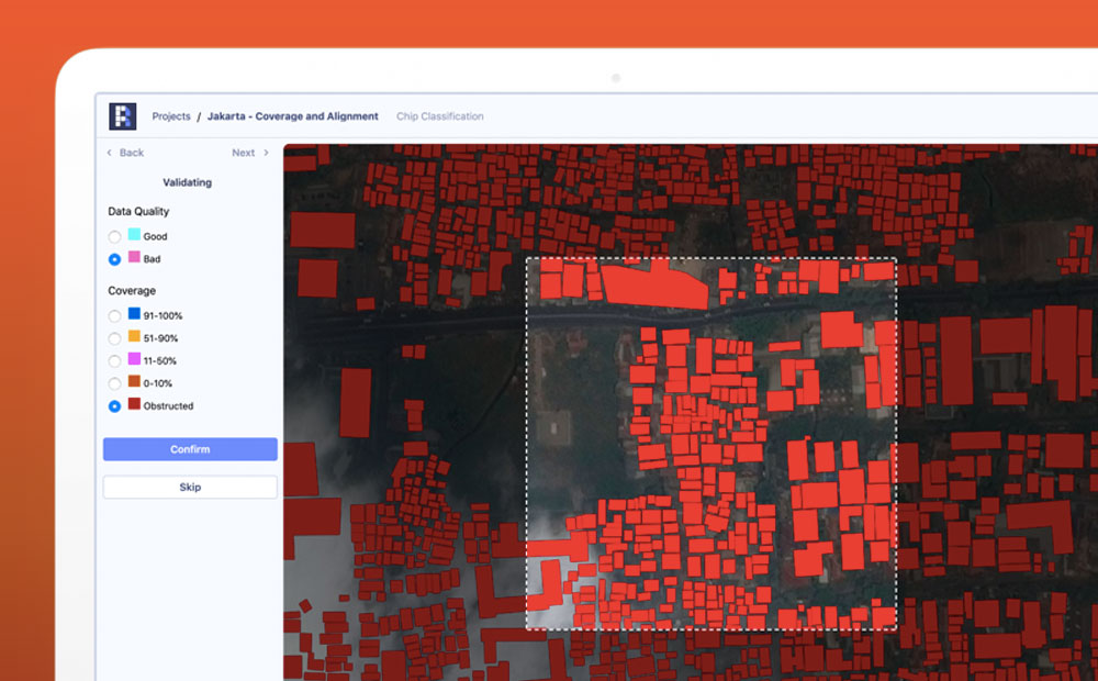
3 Ways to Analyze the Results of a Supervised Machine Learning Model
How accurate are our supervised machine learning models and what are they really doing? We offer 3 tips to help you better understand these models.
-
3 Ways to Analyze the Results of a Supervised Machine Learning Model
How accurate are our supervised machine learning models and what are they really doing? We offer 3 tips to help you better understand these models.
-
Modeling State with TypeScript
Working with frontend state can be challenging. With TypeScript, thoughtfully constructed types can help prevent bugs by making bad states unrepresentable. Let’s explore a common use case and examine how to do this effectively in TypeScript.

-
Ethical Machine Learning for Disaster Relief: Rage for Machine Learning
ML’s predictive powers are driving a rage for deep learning in the crisis management and disaster relief industries. How can these powers be harnessed for ethical machine learning?
-
AWS Public Safety and Disaster Response Competency
Hanging just above the reception desk at our office in Alexandria are three framed posters–one for each of our company values. Now you may think that’s a bit cheesy–in a sort of team-rowing-motivational poster kind of way–but they truly drive our work, decision making and business outlook at Element 84. For me, our most important…
-
10 Years into Our Charitable Contributions Program
Ten years ago we started a charitable contributions program. We developed a program that would increase our impact and expand employee ownership.

-
Ethical Machine Learning for Disaster Relief: Avoiding the Second Disaster
Machine learning on satellite imagery is revolutionizing disaster relief. What does ethical machine learning mean in this field?
-
Betting Big on the Spatiotemporal Asset Catalog (STAC) Standard
We’re investing heavily in the STAC specification – including building a STAC-compatible Python library and server as well contributing to the Label Extension. We’re hoping this work will help accelerate adoption across the geospatial engineering community more broadly.

-
Failing Your Way To Greatness
Earlier in my career, I was at an all-hands division meeting where we were reviewing the quarterly performance of the division and at least some of it was not good. The division manager, with whom I had never interacted, out of frustration asked the hypothetical to the group during an all-hands meeting: “Do you wake…
-
An Introduction to Satellite Imagery and Machine Learning
Today, the availability of satellite imagery still far outpaces our capacity to analyze it, but machine learning and tools like Raster Vision are helping.
-
Introducing PySTAC: A Core Library for SpatioTemporal Asset Catalogs
PySTAC is a Python library for reading, writing, and manipulating SpatioTemporal Asset Catalogs. PySTAC 0.3 is now released and ready to use!